Airmet Vs Sigmet: What's the Difference?
By Jordan Bullock CFI, Boeing 737 Pilot
Weather is a defining factor in every flight decision. The ability to read conditions clearly and respond accordingly separates a safe flight from a risky one. As pilots, our safety often depends on reading the skies long before we leave the ground.
Tools like radar apps and METARs are helpful, but there’s more to lean on when planning around serious weather. That’s where AIRMETs and SIGMETs come in. To make informed go/no-go calls, every professional pilot should understand the meaning of each report. Let’s break down AIRMET vs SIGMET and how these alerts help keep flight paths safe.
What Is the Difference Between AIRMET vs SIGMET?
Understanding the difference between AIRMET and SIGMET provides a clearer view of potential weather hazards and their impact on different types of aircraft. While both reports highlight significant weather concerns, they do so with different thresholds and audiences in mind.
Thankfully, there are plenty of resources out there for pilots to use to help make weather-based decisions. Most people are competent enough to use a radar-based app or read the current meter translation on ForeFlight. But what else can you use to help you make your decision, or predict what the weather can be like en route? Thankfully, the National Weather Service (NWS) helps us. Let’s take a look at AIRMETs and SIGMETS, and the difference between the two.
AIRMET: Alerts for Light Aircraft and VFR Pilots
AIRMET stands for “Airman’s Meteorological Information”, and it is exactly that. An AIRMET advises pilots of hazardous weather that may specifically affect single-engine, light aircraft and VFR pilots. It does not include convective activity. AIRMETs are issued for 6-hour periods and are amended as needed.
AIRMETs are important because even though the weather might be VFR at the current time of departure, if an AIRMET is active, then the conditions for deteriorating weather exist. An AIRMET is issued if the considered area for potential or active weather is widespread. The NWS requires the effected area to be at least 3,000 square miles. So, what kind of weather is an AIRMET issued for? There are three different types of AIRMETs. Let's take a look at all three:
AIRMET Sierra (IFR): I refer to this AIRMET as “Sierra MIST”. This is due to the IFR conditions required for this to be issued. An AIRMET Sierra is issued for Ceilings less than 1,000 ft and/or visibility less than 3 miles affecting 50% of the area, as well as extensive mountain obscuration. In short, anything that affects visibility will be issued as an AIRMET Sierra.
AIRMET Tango (Turbulence): “T” for turbulence, this AIRMET is pretty straightforward. Excessive surface wind of 30 knots or more, as well as moderate turbulence in the air, will require this AIRMET to be issued. In Florida, AIRMET Tango’s are issued on a regular basis.
AIRMET Zulu (Icing): I don’t have any cool trick or name for this AIRMET. Zulu for Icing? I have no idea, take it up with the FAA. Anyway, this AIRMET is issued if the potential for moderate icing or freezing flight levels exists. Obviously, this AIRMET carries extreme importance as icing can affect the integrity of the aerodynamics of your aircraft. Steer clear of this one.
SIGMET
So now you understand AIRMETs and the 3 different types. So, what is a SIGMET? Well, it's the AIRMET's big bad brother. SIGMETs are defined as significant meteorological conditions with hazardous weather. AIRMETs are specific to small aircraft (though everyone should heed their warning), while SIGMETs affect ALL aircraft.
Within the SIGMET issuance, there are two different types: SIGMET and Convective SIGMET. As the name suggests, the Convective SIGMET is issued specifically for convective activity. Let’s take a look at the main differences of each:
SIGMET (Non-Convective): SIGMETs are issued for widespread weather covering at least 3,000 square miles, though the specific activity can cover a small portion of this area. SIGMETs are issued for multiple reasons, including severe icing, severe turbulence, volcanic ash, or other nature-inspired events that moderately affect visibility. Think sandstorm or dust storms. This is similar to AIRMETs, but with a much more severe impact. Steer clear of any of these.
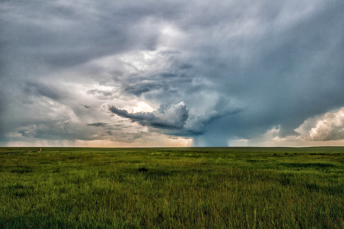
Convective SIGMET: It’s all in the name: Convective. This SIGMET is issued when there’s a high chance of convective activity. Specifically, convective activity leading to embedded thunderstorms, a line of thunderstorms, surface winds greater than 50 knots due to convective activity, hail greater than ¾ of an inch, or tornadoes.
Convective SIGMETs are indicative of terrible flying weather. With that being said, they’re extremely common in tropical areas during the summer, specifically Florida, due to our afternoon thunderstorms. If a Convective SIGMET is issued for your area, I’d avoid flying for large amounts of time or covering great distances.
AIRMETs and SIGMETs are issued by the NWS to help pilots make flying decisions by giving them a great tool to add to their knowledge bank. Knowing what an AIRMET or SIGMET is not only important because it will undoubtedly be on every checkride you take, but it also gives you an invaluable tool to use in real-world flying.
By Jordan Bullock CFI, Boeing 737 Pilot
Northstar Aviation References brings you the Pre-Tabbed ASA FAR/AIM, DIY tabs for your FAR/AIM and other pilot resources so that you can more easily study the regulations that form the foundation of your flying career or hobby. Have any questions? Check out our FAQs page or contact us. Check out other blog posts here.